
What’s causing all the storms in Queensland and NSW? Ex-Tropical Cyclone Fina is pumping tropical moisture into eastern Australia, where it meets warm temperatures and atmospheric triggers to create severe thunderstorms daily.
Australians across Queensland and New South Wales are asking: “Why are there storms every day this week?” and “When will the severe weather end?” Here’s the complete explanation of what’s happening with Australia’s weather right now.
The Three Ingredients Creating Daily Storms
Think of severe thunderstorm formation like a recipe – you need three specific ingredients, and right now eastern Australia has all three in abundance:
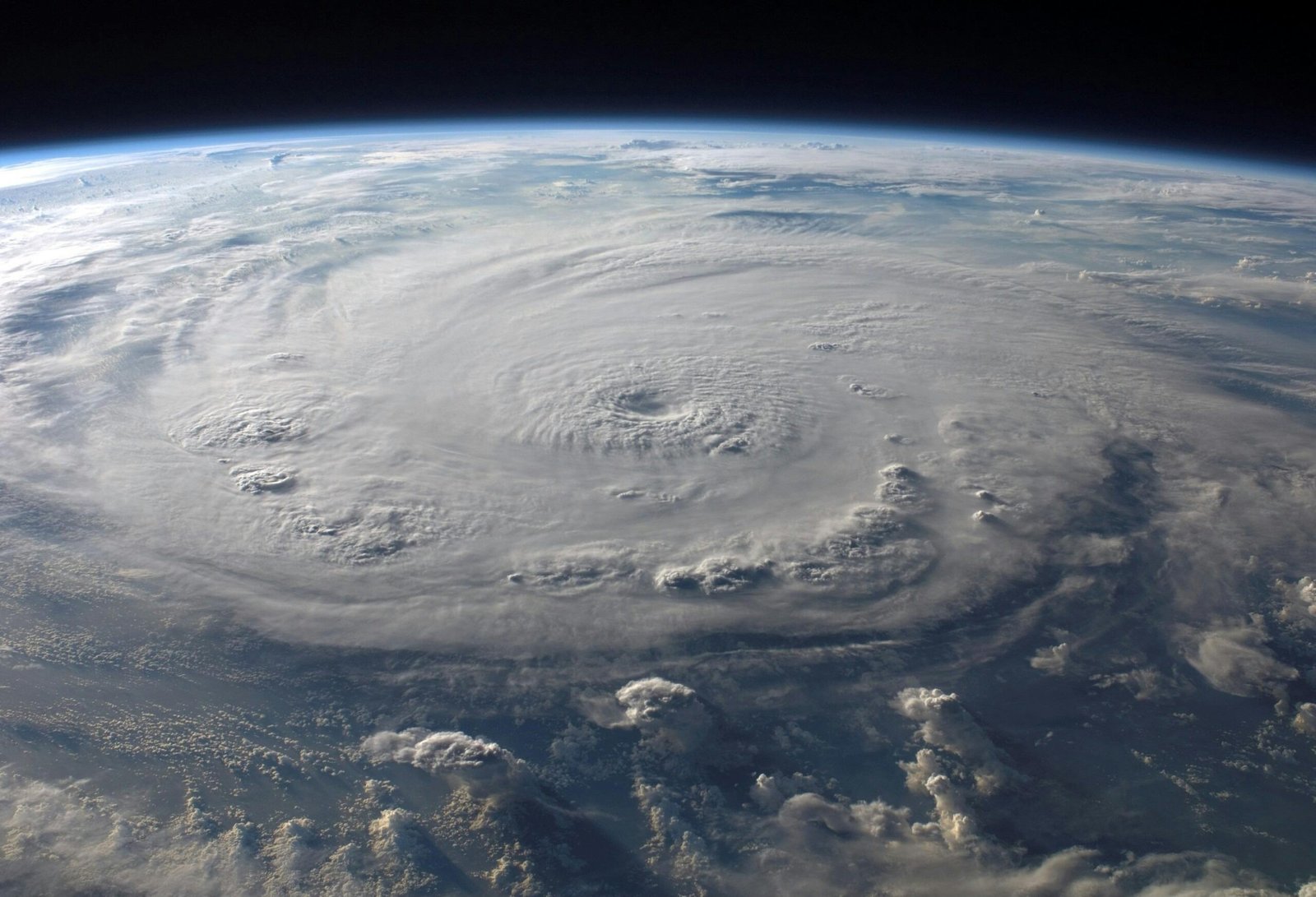
Ingredient 1: Tropical Moisture from Ex-Cyclone Fina Ex-Tropical Cyclone Fina, positioned north of the Kimberley in Western Australia, is drawing enormous amounts of humid air from the tropical north and channeling it southward into Queensland and NSW. Satellite water vapor imagery shows this moisture “river” stretching thousands of kilometers.
Ingredient 2: Heat Energy Warm to hot temperatures across eastern states provide the energy needed to power thunderstorm development. This heat causes air to rise rapidly when triggered.
Ingredient 3: Atmospheric Triggers Passing upper-level and lower-level atmospheric troughs are moving through the region, forcing air upward and triggering storm formation. These troughs act like the match that lights the fire.
How does Ex-Tropical Cyclone Fina affect weather so far away?
While Ex-Tropical Cyclone Fina is thousands of kilometers from Queensland and NSW, its influence extends across vast areas of the continent. The former cyclone creates a circulation pattern that taps into tropical moisture and transports it southward – like a conveyor belt delivering storm fuel to eastern states.
Is this normal weather for November in Australia?
Severe thunderstorms are a normal feature of late spring weather in eastern Australia. However, what’s notable about this week’s outbreak is the persistence – having all the right conditions align day after day for nearly a week is less common than having isolated severe weather events.
When will the storm outbreak end?
The current pattern shows:
- Today (Wednesday): Severe storms northeastern NSW, eastern Queensland
- Thursday: Severe storms southeast Queensland coast (Brisbane, Gold Coast, Sunshine Coast)
- Friday: Brief reprieve from severe weather
- Saturday: Storms redeveloping from inland areas
The influence of Ex-Tropical Cyclone Fina is expected to gradually weaken, but the pattern won’t completely break down until later this week or weekend.
What makes these storms severe?
The combination of abundant tropical moisture, strong instability, and wind shear in the atmosphere creates conditions for:
- Giant hail: Powerful updrafts freeze raindrops repeatedly, creating ice chunks larger than 5cm
- Destructive winds: Strong atmospheric winds get concentrated in downdrafts, creating gusts over 125km/h
- Flash flooding: Tropical moisture means storms can dump extreme rainfall in short periods
- Lightning: High instability creates intense electrical activity
How rare is giant hail in Australia?
Giant hail (defined as hail with diameter greater than 5 centimeters) occurs somewhere in Australia most years, but is relatively uncommon for any specific location. When it does occur, damage can be extensive – vehicles, roofs, windows, and crops can all be severely impacted.
Where can I find accurate storm warnings?
The Bureau of Meteorology (bom.gov.au) issues official severe weather warnings that are updated as conditions change. Download the BOM Weather app for real-time radar and push notifications for your location. Never rely solely on social media for weather warnings.
Understanding what’s driving this week’s severe weather helps residents appreciate why meteorologists are issuing warnings day after day – it’s an ongoing weather pattern, not isolated events.