


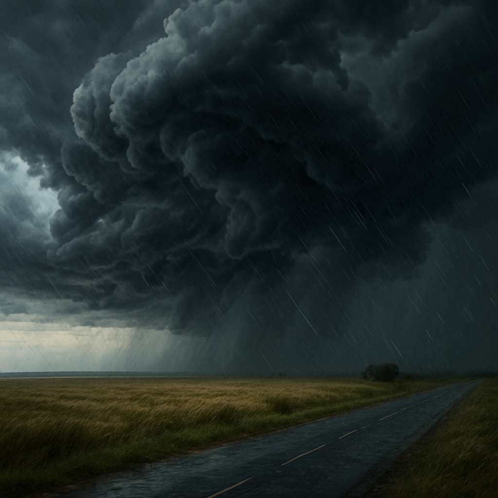
New South Wales was battered by unexpected thunderstorms and hailstorms overnight as an unseasonal weather system moved swiftly across the state. The early winter front, which intensified across the southern and central regions, brought heavy downpours, strong winds, lightning, and hailstones that startled residents and disrupted local activity.
The Early Warning Network reported numerous cells forming rapidly throughout Monday, resulting in a surge of storm activity by the evening. Sydney, the Illawarra, Southern Tablelands, and parts of the Hunter Region were among the hardest hit, with weather watchers reporting hail accumulation on roads, backyards blanketed in ice pellets, and dramatic lightning strikes lighting up the sky.
While winter thunderstorms aren’t entirely uncommon, the timing and intensity of this system have raised eyebrows. Typically associated with the summer storm season, the scale of lightning and hail prompted fresh reminders for residents to stay prepared year-round.
Emergency services responded to several calls, including reports of minor flash flooding, blocked drains, and damage to vehicles and rooftops from hail. Fortunately, there were no serious injuries reported.
Meteorologists from the Bureau of Meteorology explained that a cold upper-level trough intersecting with moisture-laden air contributed to the storm’s unexpected strength. The atmosphere became increasingly unstable as the system moved eastward, allowing cells to develop rapidly throughout the late afternoon and evening.
Looking ahead, conditions are expected to ease by midweek, but authorities advise residents to remain alert. Another cold front is forecast later in the week, potentially bringing more showers and gusty winds, particularly to inland NSW.
Residents are urged to stay updated via the Bureau of Meteorology and local emergency services and to ensure gutters are clear and loose items around the home are secured.